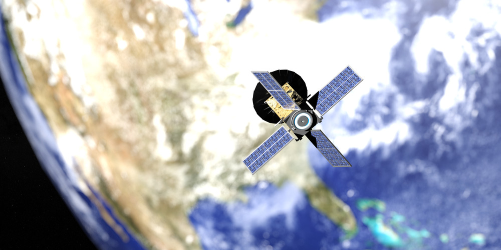
Earth observation satellites have become an essential tool for disaster response efforts by providing important real-time data that increases situational awareness in emergencies.
By providing high resolution images, these satellites can help assess damage and identify affected areas. Their roles go beyond mere observation. They promote communication and coordination between response teams.
As the world grows in the number of natural disasters, these technological advances potential pose important questions regarding future applications and humanitarian strategies.
Lifeline from above: Restoring communication when network fails
In the aftermath of disasters, communications networks are often breached, making affected communities isolated and vulnerable. This disruption significantly hinders rescue operations and the provision of essential services.
Earth observation satellites play an important role in restoring communications by providing real-time data and images that can guide emergency response efforts. These satellites can identify damaged infrastructure, such as downed power lines and collapsed buildings, allowing responders to effectively prioritize actions.
Additionally, they facilitate the establishment of temporary communication systems, such as satellite phones and internet connections, allowing affected individuals to reach out to help and share their needs.
By leveraging satellite technology, organizations can quickly assess ground conditions, coordinate relief efforts, and ensure resources are allocated where they are most needed.
Ultimately, these airborne lifelines promote resilience and recovery in the face of catastrophic disasters, filling in the gaps created by damaged terrestrial networks.
Global Eye: Real-time damage assessment and mapping
Earth observation satellites provide important resources for real-time damage assessment and disaster-suspension mapping. These advanced technologies allow for a rapid and accurate assessment of affected areas and provide important insight into the extent of destruction.
High-resolution images captured from space can reveal changes in land use, infrastructure damage, and environmental impacts, allowing responders to effectively prioritize their efforts.
Satellite data helps generate detailed maps highlighting the most severely affected zones, and encourages informed decision-making from disaster management agencies. This information is important for efficient allocation of resources and coordinate the distribution of assistance to those in need.
Furthermore, the ability to monitor changes over time helps to assess the progress of recovery, ensuring that response strategies evolve as situations arise.
Search and Rescue: Identifying people at risk
Using Earth Observation Satellites greatly enhance search and rescue operations during disasters and significantly enhance search and rescue operations by providing accurate location data to individuals. These satellites capture high-resolution images and data, allowing responders to quickly identify affected areas and find survivors.
Through advanced technologies such as synthetic aperture radar and multispectral imaging, rescue teams can identify changes in topography and identify where people are trapped or left behind.
Additionally, satellite communication systems facilitate real-time data transmission and enable effective coordination of rescue operations. This feature ensures that resources are allocated efficiently, improving response times and maximizing the survival chances of suffering people.
Beyond the Eye: Predicting and Tracking Natural Disasters
The effectiveness of search and rescue operations is greatly complemented by the predictive capabilities of Earth observation satellites in monitoring natural disasters. These satellites provide important data to enhance understanding of phenomena such as hurricanes, floods, and wildfires.
Using remote sensing technology, scientists can analyze weather patterns, track storm development, and assess potential impacts on vulnerable regions.
Integrating satellite data with advanced modeling technology enables more accurate predictions and gives the community valuable time to prepare for difficult disasters. This aggressive approach promotes timely evacuation and resource allocation, ultimately reducing casualties and damage.
Additionally, continuous surveillance ensures that changes in hazard conditions are quickly identified and communicated to relevant authorities. As a result, the synergistic effect of Earth Observation Satellites and predictive analytics represents an important tool in disaster management, significantly improving the resilience of communities facing natural threats.
Logistics from the orbit: Humanitarian aid and supply chain guidelines
Satellite technology plays a key role in increasing the efficiency of humanitarian assistance and supply chain logistics during disasters. By providing real-time data on affected areas, satellites can enable organizations to assess damage, identify logistical challenges, and effectively prioritize resources.
High-resolution images allow for accurate mapping of infrastructure and population density. This is important for planning and deploying assistance for distribution routes.
Additionally, satellite communications promote coordination between various agencies, ensuring timely exchange of information and effective response efforts. This connectivity is essential in remote or devastated areas where traditional communication networks can become inoperable.
Additionally, satellite data can monitor environmental conditions and can help predict logistical hurdles such as flooding and road blockages.
Ultimately, satellite technology improves the speed and accuracy of humanitarian responses, optimizing the distribution of essential supplies and services to those struggling at critical times.
Collaborative work: International agreements and shared space assets
As nations increasingly recognize the importance of cooperation in addressing global challenges, international agreements on space assets have become essential for effective disaster response.
These contracts will encourage the shared use of Earth Observation Satellites, allowing countries to pool resources and data for more efficient crisis management.
Notable initiatives such as the Group on Earth Observations (GEO) and the Copernicus programme illustrate how global partnerships enhance disaster monitoring capabilities.
The evolutionary role in disaster response and management
In conclusion, Earth observation satellites significantly enhance disaster response efforts by providing critical real-time data, improving communication and promoting efficient resource allocation.
The ability to assess damage, find survivors and predict natural disasters not only save lives, but also strengthens global coordination among humanitarian agencies.
As technology advances, the role of these satellites in disaster management continues to evolve, ensuring even more rapid and effective responses to emergencies and ultimately fostering the resilience of communities around the world.
Source link

