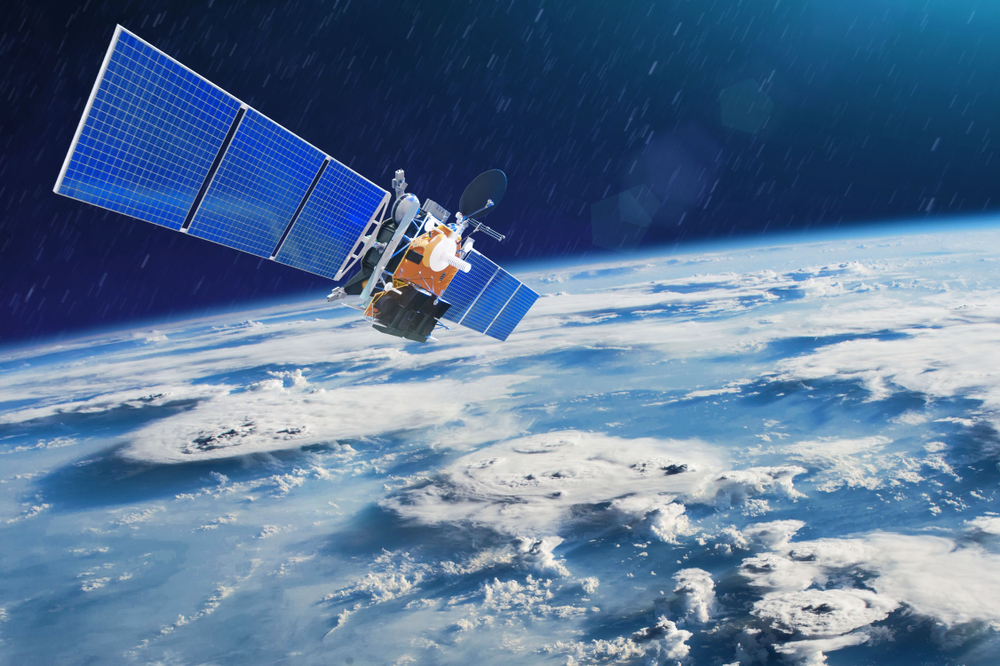
In the rapidly evolving field of disaster relief, Earth observation technology has emerged as a powerful game changer, redefineing crisis preparation and response.
By utilizing satellite imaging and remote sensing, disaster response teams gain unprecedented access to real-time data, allowing faster, more informed decisions.
This technology not only sharpens damage assessments, but also helps to accurately identify vulnerable communities.
Once artificial intelligence (AI) and drones are integrated, these advances will revolutionize disaster relief and address some of the sector’s most sustained challenges.
What is Earth Observation Technology?
Earth Observation (EO) technology involves the collection and analysis of data about Earth’s systems using remote sensing tools such as satellites, aerial drones, and ground sensors.
This high level of view is essential for monitoring climate, natural disasters and environmental changes, and is essential for modern disaster relief efforts.
Remote Sensing provides continuous and wide range of data collection to support tracking extreme weather, earthquakes, wildfires and floods. Insights gathered through EO enable efficient resource allocation and informed decision-making. Both are essential for effective disaster relief.
Geographic Information Systems (GIS) enhance EO by visualizing and analyzing spatial data. Together, it helps predict environmental changes, identify areas at risk, and guide active disaster planning.
Artificial intelligence amplifies these features. AI algorithms analyze vast datasets to provide predictive insights and improve response speed and accuracy.
Beyond emergency response, EO contributes to long-term sustainability and resilience, playing a key role in both immediate and strategic disaster relief plans.
How satellites map damage in real time for disaster relief
During natural disasters, satellites become an important tool in providing real-time insights to shape rapid and effective disaster relief strategies.
These satellites provide high-resolution images within hours, allowing emergency teams to assess damage, prioritize actions, and deploy resources efficiently.
One outstanding initiative is the international charter space and major disasters, coordinating satellite data from over 270 sources. It has been revitalized over 800 times and supports disaster management around the world, particularly due to flood and storm responses.
The satellite captures 30 centimeters of detailed images and closely views the damaged infrastructure and affected areas.
Synthetic Aperture Radars (SARs) add another layer by collecting data regardless of weather or lighting conditions. This ensures consistent surveillance and increases the accuracy and speed of disaster relief operations.
Archived satellite images also play a role in mapping damage. By comparing pre-disaster and post-disaster images, analysts can quickly identify changes and enable more targeted and effective assistance delivery.
Emergency response guidelines
When it comes to disaster relief, speed and accuracy are all about it. Earth observation technology ensures emergency responders have the tools they need to take action decisively.
Here’s how EO technology can enhance disaster relief:
Rapid Data Access: Satellite images are typically available within 24 hours, allowing for immediate evaluation and response adjustments. 24/7 Surveillance: Radar and optical satellites provide continuous imaging, providing important data regardless of time or weather conditions. Advanced Imaging for Insights: Tools such as SAR and multispectral imaging provide important insights into topographic and environmental health and help develop accurate disaster relief strategies. Global Collaboration: International cooperation through programs such as the International Charter ensures that satellite data is shared to support effective global disaster relief efforts.
These tools will improve the accuracy and efficiency of emergency businesses, directly support life-saving missions, and minimize disaster impacts.
Supporting risky communities
The cornerstone of disaster relief success has reached isolated or at-risk groups. It is often overlooked due to its location and lack of infrastructure. EO technology plays a crucial role in ensuring that these communities are not left behind.
High-resolution satellite images can help you identify where your biggest needs lie. Whether mapping damaged roads or assessing isolated settlements, EO provides the data you need to accurately and promptly direct disaster relief efforts.
Continuous environmental monitoring allows new threats to be identified early and gives responders time to act before they get worse. This feature is essential for remote regions where there is no access to traditional communication systems.
With EO data, early warning systems that alert you to threats that rely on your community will present threats and provide valuable time to evacuate or prepare. These systems significantly strengthen disaster relief plans and reduce the loss of life.
EO technology also informs long-term development strategies in disaster-prone regions, enhancing future preparation and minimizing risk.
The Future of Disaster Relief: AI, Drones, and Satellite Intelligence
The future of disaster relief lies in the seamless integration of AI, drone technology and satellite intelligence. Together, these tools are restructuring the way aid is delivered. This makes it faster, smarter and more adaptable.
Artificial intelligence allows predictive analysis to predict disasters before they occur. By analyzing large datasets, AI supports smarter decision-making and optimized resource allocation.
Drones are revolutionizing field-level disaster relief by providing real-time aviation assessments and providing supplies to unreachable areas. They are especially valuable during search and rescue missions.
Satellite Intelligence supports both strategic planning and live response. It provides global continuous monitoring, enabling early warning, environmental tracking and long-term planning.
These technologies, when combined, provide an overall disaster relief framework. They improve communication, accelerate data sharing, and ensure humanitarian organizations act at speed and accuracy.
As innovation continues, this next-generation tool promises not only to improve emergency response, but to build greater global resilience in the face of disasters.
Source link

