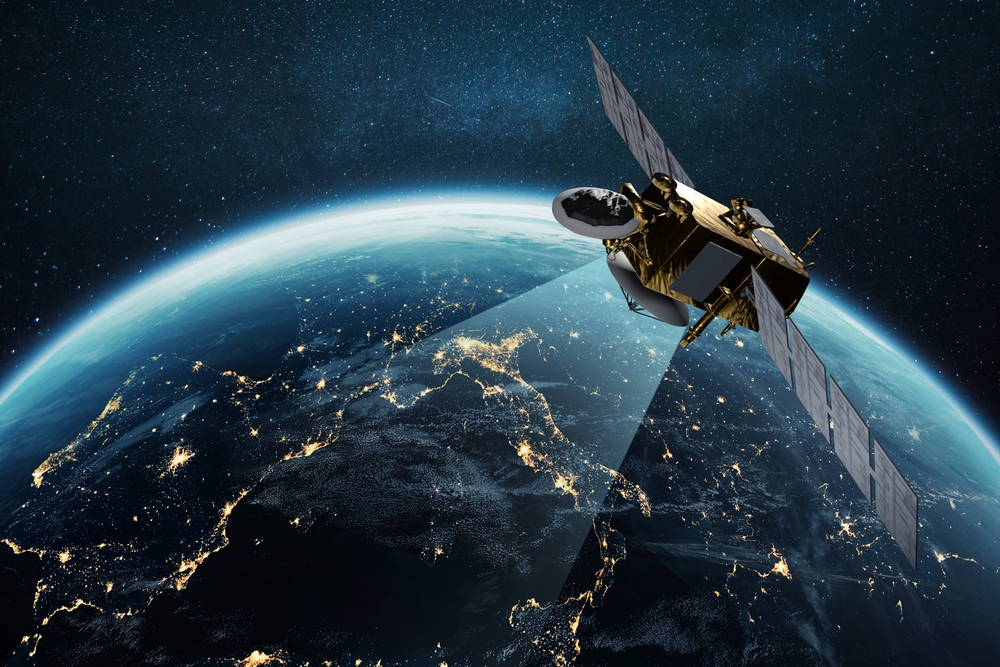
Satellite data plays an important role in combating climate change, providing a comprehensive understanding of global environmental changes.
Real-time monitoring capabilities highlight critical areas such as deforestation and greenhouse gas emissions. This information is essential for scientists and policy makers aiming to develop effective strategies.
However, the full potential of satellite data extends beyond its current applications. As this technology continues to evolve, what innovative solutions might emerge?
Planet under pressure: Why we need a global perspective
As climate change accelerates, understanding its global impact becomes increasingly important.
The planet is facing unprecedented challenges, including rising temperatures, extreme weather events, and diminishing natural resources.
These issues do not respect borders. They impact ecosystems and communities around the world. Therefore, a comprehensive global perspective is essential for effective mitigation and adaptation strategies.
Scientists and policy makers need insight into macro-scale climate trends, impacts, and potential solutions. This global view allows you to identify patterns, assess vulnerabilities, and prioritize actions across different geographies.
Additionally, it fosters international cooperation as countries can share data and resources to combat climate change.
The urgency of addressing climate change requires an integrated approach, where understanding the interconnectedness of environmental systems is paramount.
By adopting a global perspective, stakeholders can better navigate the complexities of climate change and work toward sustainable solutions for the planet.
Eyes in the Sky: How Earth Observation Works
Satellite technology plays a vital role in monitoring the Earth’s climate system and providing critical data that supports the global understanding of climate change.
Using advanced sensors and imaging technology, satellites collect vast amounts of information about Earth’s surface, atmosphere, and oceans.
These observations allow scientists to analyze temperature changes, track cloud formation, and measure greenhouse gas concentrations.
Earth observation satellites operate in a variety of orbits, each designed for a specific purpose, such as monitoring weather patterns or assessing land use change.
The data collected from these satellites is processed and analyzed to identify trends and anomalies in climate change.
Tracking change in real time: from forests to ice sheets
The effects of climate change often occur gradually, but satellite technology will allow scientists to track these changes in real time across diverse ecosystems, from lush forests to melting ice sheets.
This capability provides critical data on deforestation rates, biodiversity loss, and glacier retreat, enabling instant analysis of environmental change.
Advanced sensors capture high-resolution images and measurements that reveal changes in vegetation health and ice dynamics.
For example, changes in biomass and species composition can be monitored in forest canopies, while the effects of ice mass loss and sea level rise are scrutinized in polar regions.
By integrating satellite data and ground observations, researchers can better understand climate patterns and their effects on different habitats.
This real-time tracking not only informs scientific research, but also raises public awareness and brings urgency to the global response to climate change.
In this way, satellites serve as important tools for continuously monitoring the health of the Earth.
Turning satellite data insights into climate solutions
Researchers are leveraging the wealth of data generated by satellites to translate insights into actionable climate solutions. This data allows for the identification of emission hotspots and monitoring of critical ecosystems, enabling targeted interventions.
For example, satellite imagery can help assess deforestation rates, leading to more effective conservation strategies. Additionally, satellite data can help optimize renewable energy deployment by pinpointing areas with the highest potential for solar and wind power generation.
Collaboration between scientists, policy makers, and businesses is essential to translate these insights into real-world applications. Governments can use satellite data to develop regulations and incentives that promote sustainable practices.
Additionally, companies can use this information to increase supply chain transparency and reduce their carbon footprint.
Collectively, satellite data serves as the basis for efforts to combat climate change, providing the information needed to drive effective solutions and promote a more sustainable future.
The future from orbit: Building a climate resilient world
With a solid foundation laid by insights based on satellite data, the potential for a climate-resilient future looks promising.
Satellites provide critical information about weather patterns, land use, and greenhouse gas emissions, allowing policymakers and scientists to make informed decisions.
This data will facilitate the development of adaptation strategies for agriculture, urban planning, and disaster management that are essential to reducing climate impacts.
As satellite technology continues to evolve, the integration of artificial intelligence and machine learning will enhance predictive capabilities and enable more proactive responses to environmental challenges.
Countries can use this information to build infrastructure that withstands extreme weather events, ensuring the safety and sustainability of communities around the world.
Additionally, cooperation between countries in sharing satellite data can foster a unified approach to tackling global warming.
By leveraging these on-orbit insights, humanity can chart a path towards a more resilient and sustainable future, ultimately protecting ecosystems and human livelihoods from the impacts of climate change.
Source link

